“Trees contribute to increased biodiversity, create a pleasant microclimate, and are therefore not least a valuable investment asset. That’s why their care should be very precise, detailed, and comprehensive. A tree cadastre offers a good opportunity for this. B_I galabau spoke with Stefan Schumacher, Managing Director at PBSGEO, about the benefits of digital tree management and what users should pay attention to.”

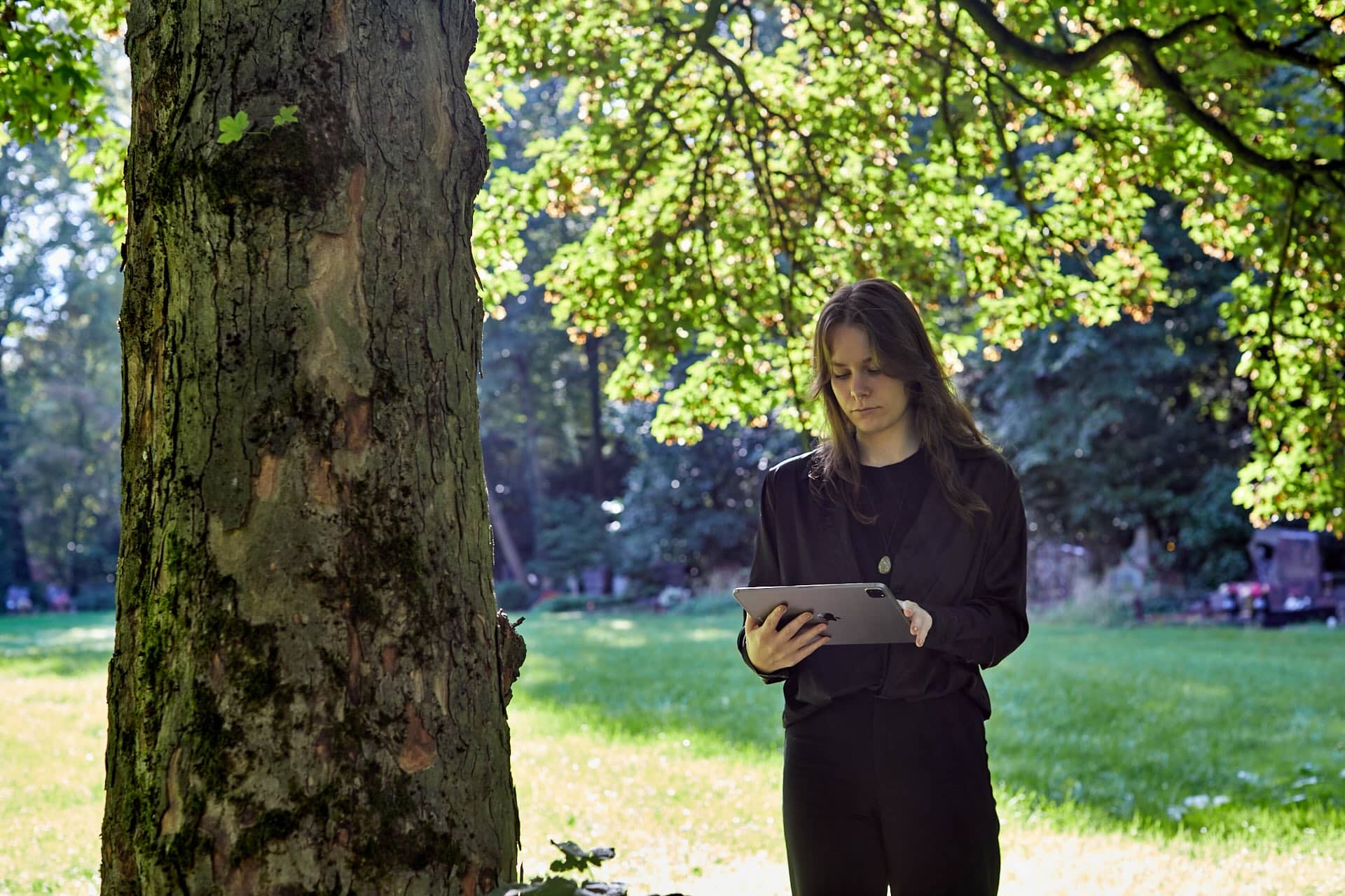
Instead of digging through paper files, with a digital tree cadastre, all relevant information is centralized and structured in one place. | Photo: PBSGEO GmbH
Mr. Schumacher, what are the main advantages of a tree cadastre compared to traditional methods of tree management?
Stefan Schumacher: Firstly, it enables the digital representation of green spaces and tree populations. This allows for a quick overview and the precise location of each tree. Secondly, large amounts of data can be much more easily managed. Instead of searching through paper files or scattered digital documents, all relevant information is centralized and structured in one place. Another advantage is the quick accessibility of sought-after data on trees and measures. Thanks to search functions, specific information such as the condition of a tree or carried-out maintenance measures can be retrieved instantly. Additionally, all relevant information, such as photos, documents, findings, and measures, are centrally stored and linked to the respective tree. This ensures that there is always a comprehensive overview of the condition and history of each tree. Finally, tree cadastres enable digital area and data analysis. This facilitates the planning and implementation of maintenance and repair measures and supports making well-founded decisions.
How does a tree cadastre support professionals in the landscape gardening and construction industry in their daily work?
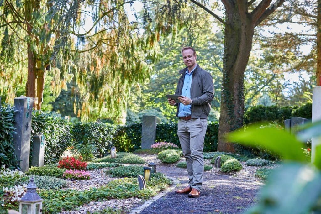
Schumacher: A tree cadastre is an incredibly useful tool for professionals in the landscape gardening and construction industry. Firstly, all relevant information is available at a glance, saving a lot of time and effort compared to traditional, often paper-based documentation. Another highlight is the GPS functionality. Typically, you can use GPS to display your own location and navigate accordingly. This is particularly helpful when working in large or complex areas. You can immediately see where you are and which trees are nearby. The implementation of tree inspections according to the guidelines of the Research Society for Landscape Development and Landscape Construction (FLL) is also systematized by a tree cadastre. It provides a clear plan and structured approach, making inspections more efficient and safer. All inspections can be documented and tracked seamlessly. Additionally, a tree cadastre assists in task management. Whether it’s maintenance work, inspection appointments, or other tasks, everything can be centrally managed and coordinated, ensuring a smooth workflow and helping to avoid overlooking or forgetting tasks.
How does a tree cadastre contribute to the safety and health of trees in urban areas?
Schumacher: A digital tree cadastre allows filtering the due dates of tree inspections and setting priorities. This enables more regular tree inspections and, consequently, potential maintenance. Because, as with many other things, regular inspections significantly contribute to the health of the tree population. If deficiencies are identified, tasks can be assigned to employees more precisely, and inspections can be better documented. It’s important to note that a healthy tree population is less likely to pose safety risks, thereby preventing property damage or personal injury. Such damages could otherwise lead to serious legal consequences.
How does the PBSGEO tree cadastre integrate into existing systems and workflows of municipalities and private service providers in the landscaping and gardening sector?
Schumacher: The PBSGEO tree cadastre seamlessly integrates into existing systems and workflows of municipalities and private service providers in the landscaping and gardening sector. This is due to our open data structure, ensuring flexibility and compatibility. By using an online API, unlimited integration with various systems is possible. This allows existing applications and software solutions to be easily used and expanded. Additionally, we offer the ability to exchange data in any file format, greatly facilitating data transfer and collaboration with different partners and systems. You can be confident that our tree cadastre will be optimally integrated into existing workflows.
What special features or tools does your tree cadastre offer that are particularly useful for the landscaping and gardening sector?
Schumacher: Our tree cadastre requires only a short introduction, no extensive training. The data is always up-to-date and accessible from any device, providing maximum flexibility. For tree inspectors and maintainers, we have developed an app that works on both iOS and Android. This app can be used online or offline and supports GPS positioning, significantly facilitating work on-site. Thanks to an online API, everyone is always on the same current data, avoiding delays or confusion. Previous inspections can be easily viewed and displayed chronologically. This enables seamless documentation and tracking of all activities. Relevant data, tasks, photos, and notes can be shared ad hoc, greatly simplifying team communication.
Our integrated, geo-based task management supports communication and coordination of upcoming tasks. The integration of the digital cemetery and green space cadastre is also possible, allowing all data to be centrally managed. Additionally, catalogs and lists can be individually created and expanded. Data can also be exported to Excel, providing additional flexibility for further processing and analysis.
What cost and time savings can be achieved through the use of your tree cadastre?
Schumacher: A major advantage is the low error rate thanks to automated data synchronization. This means that users can rely on the accuracy of the data and spend less time on corrections or duplicate work. Another benefit is the paperless and effortless workflows. Everything is digital, significantly reducing administrative overhead. No more tedious back and forth with paper stacks, everything is centralized and easily accessible. Additionally, you benefit from integrated task management, which saves a lot of time by managing and tracking tasks directly within the system.
What role do modern technologies like GIS (Geographic Information Systems) and mobile applications play in your tree cadastre?
Schumacher: Modern technologies like GIS and mobile applications play a significant role in our tree cadastre. Our desktop application is based on QGIS, an open-source software that is freely available. QGIS provides powerful tools for graphical data analysis, which greatly assists us in managing and analyzing tree inventories. The mobile application also plays a significant role. It is crucial that individuals on-site at the tree can enter and access information, even when they are offline. Our solution is multi-platform, meaning that each person can use the application that best suits their work. This ensures that work is done efficiently and flexibly.
How do you envision the future development of tree cadastres?
Schumacher: I see the future development of tree cadastres as extremely exciting and promising. Digitization is inevitable and a matter of great political and societal relevance. In the foreseeable future, digital tree cadastres will completely replace paperwork. This not only brings immense relief in daily tasks but also deeper integration with other specialized cadastres, enabling us to have even more comprehensive and efficient management. I find the further automation particularly exciting, as it will significantly simplify our workflows. Routine tasks can be completed faster and more accurately, allowing us more time for truly important tasks. Additionally, tree cadastres will be opened to the public, leading to greater transparency and public involvement. Together, we can ensure better care and management of our trees.
What new features or innovations do you plan for your system?
Schumacher: In the near future, we plan to introduce a web-based application for our system. This means that, in addition to the app and desktop version, it will be even easier to access our services from anywhere. A truly exciting innovation is our citizen information system. This will allow citizens and interested parties to gain insight into our tree inventory. This not only creates transparency but also strengthens the sense of community and awareness of our green environment. Additionally, we are planning to integrate time tracking and billing capabilities for our tree inspectors. This will make their work more efficient and simplify the management of their tasks.
Source: B_I Medien, Bernd Hinrichs, June 11, 2024
Here is the original article: B_I Medien