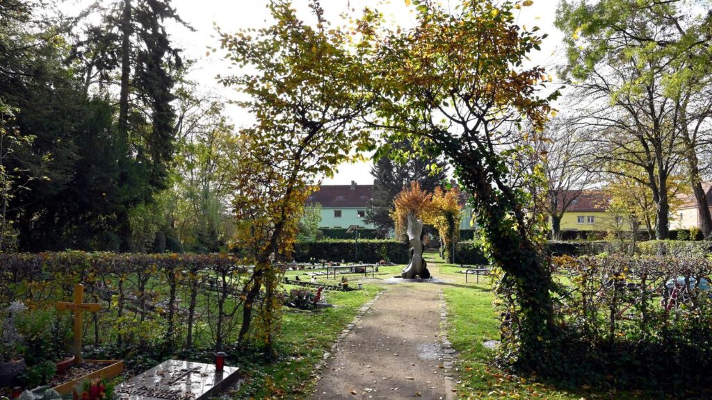
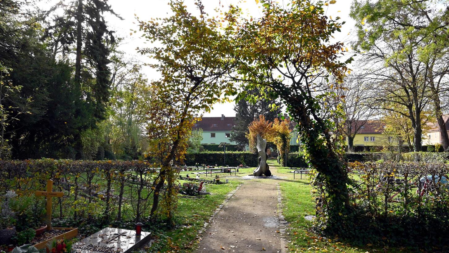
ERLANGEN – A digital cemetery map for the municipal cemeteries in Erlangen is now available. Grave sites can be specifically found using the search function by name or grave number.

The cemetery administration at the registry office of the city of Erlangen is offering a new digital service: the digital cemetery map for the municipal cemeteries is now available. This is announced by the city of Erlangen in a press release.
Grave sites can be specifically found using the search function by name or grave number. The exact location of the grave is displayed, and GPS can be used to guide visitors directly to the desired grave. Additionally, there is the possibility to obtain information about available grave sites.
QR Codes in display cases
QR codes are available in the display cases at the entrances of the municipal cemeteries. By scanning or entering the web address https://erlangen.friedhofsplan.de on a smartphone, users can access the digital cemetery map. The digital cemetery map provides a modern and contemporary application in many respects and is an important addition to existing digital services.
Regarding data protection, the city of Erlangen proceeds with caution and on the necessary legal basis: the retrievable data of deceased individuals are generally not subject to data protection. Only the grave number and name of the deceased are displayed on the digital cemetery map.
Objection via email
If authorized users do not wish for this information to be displayed, a brief notification to the cemetery administration is sufficient (email friedhof@stadt.erlangen.de, postal address Stadt Erlangen, Friedhofsverwaltung, Michael-Vogel-Straße 4, 91052 Erlangen). The data will then be anonymized, so that the grave site is only marked as “occupied”.
Further questions can be answered personally or by phone (09131 86-1990) (Internet information: www.erlangen.de/standesamt).
Source: Nürnberger Nachrichten, 02.12.2023


