CAD plans of cemeteries are often available, but sometimes without a connection to databases, the IT experts observe. With the digital cemetery plan on the Internet, it is possible to go one step further: Service for citizens and trades. Therese Backhaus-Cysyk spoke to two cemetery administrations on the subject.
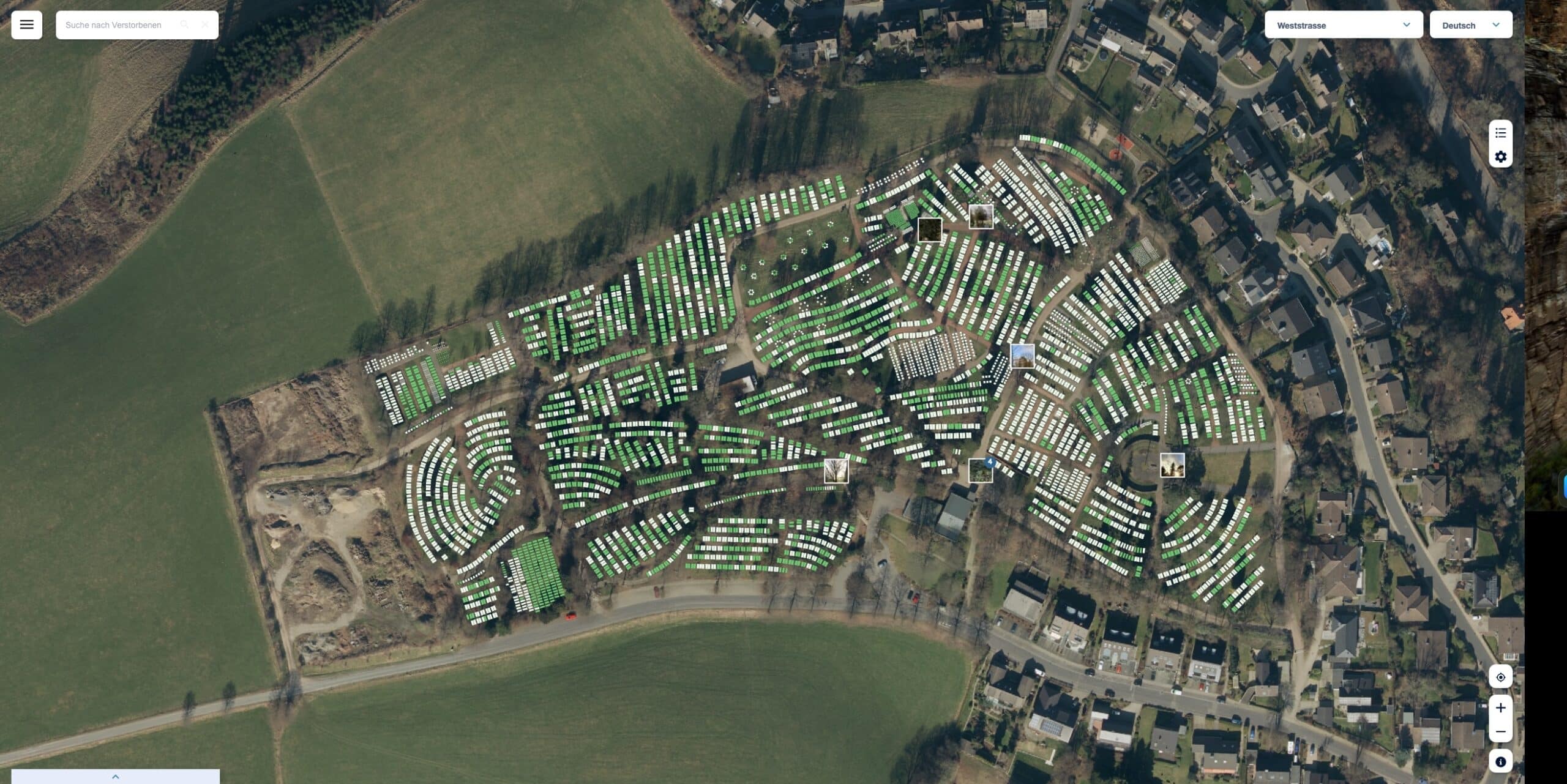
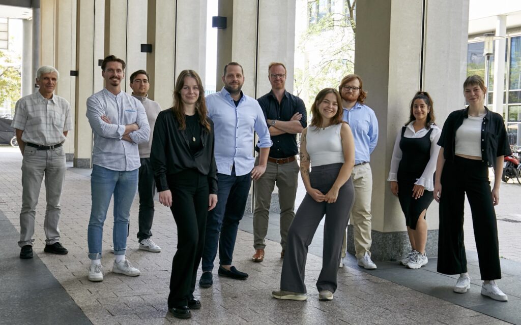
“At the end of 2017, we were able to complete our work on digitizing the cemetery plans for all six municipal cemeteries,” explains Andreas Fuest, who is responsible for maintaining the municipal cemeteries in the city of Dorsten, on the edge of Münsterland. The work was carried out hand in hand. While the Cologne-based company pbsgeo digitized the necessary data for the larger cemeteries in Dorsten using aerial photographs, for example, Fuest took over the mapping of graves, buildings, green spaces and paths in the smaller cemeteries. A lot of work was involved in the fine-tuning, for example in the case of discrepancies in grave occupancy. All contradictions had to be checked individually, recalls Fuest and sees only advantages for himself and his employees in the digital cemetery plans, which are linked to the cemetery database. The cemetery administration
of the city of Dorsten works with the Winfried cemetery program from mps public solutions. The factual data is automatically synchronized with the cemetery plan from pbsgeo. “The work processes can be significantly improved and simplified. For example, the search for a specific grave can be significantly shortened. Grave and deceased data can now be retrieved from us at the click of a mouse,” emphasizes Fuest.
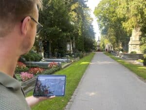
In addition, all data such as rest periods or special notices can be called up at any time. And this also works on site on a tablet or laptop by the foremen of the cemeteries. This closes the circle of use for the administration. For example, a filter can be set for the query “Where are graves that have been released for reburial?” This means that every employee can immediately advise the bereaved and morticians at an appointment as to which graves are currently available. “At one of our large cemeteries in Dorsten, for example, which covers an area of twelve hectares, there were six books in which data such as rights of use and expiry dates used to be entered. In future, we can confidently dispense with a handwritten register of graves,” explains Fuest with satisfaction.
For inquiries to the administration about the specific location of a deceased person’s grave, Fuest and his colleagues print out a PDF file on which the cemetery area is graphically depicted and the grave in question has been digitally marked by the program. The cemetery staff have to obtain information on deceased persons around 700 times a year. Considering the labor costs that can be saved by quickly answering these administrative processes with a click of the mouse, the digital cemetery map is a clear advantage. And this does not even include the graphic evaluations, which can provide a basis for further strategic orientation in cemetery planning for the future.
Service for citizens with digital cemetery map
“friedhofsplan.com enables administrations to publish the digital cemetery plan on the Internet and thus creates a benefit for the administration itself, the citizens and the service providers working at the cemetery,” explains Stefan Schumacher from pbsgeo, pointing to the Germany-wide pioneer, the Hanseatic town of Wipperfürth in the Bergisches Land region. The system was presented to the public there for the first time in February. “The digital grave information has been very well received by our citizens,” explains Ralf Hagen from the building department, which also includes the burial service in Wipperfürth. “We find the grave information very user-friendly: it can be done either by clicking on the map or by entering the name of the deceased.
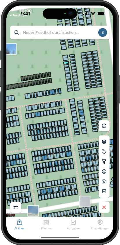
For navigation with mobile devices, such as tablets or smartphones, in each of our seven municipal cemeteries, your own position is recorded via GPS and displayed on the map.” Before introducing the new citizen service, Wipperfürth also considered the issue of data protection and examined it internally, explains Hagen. Schumacher adds: “In order to create legal certainty, we had friedhofsplan.de examined with regard to data protection in an expert opinion by Prof. Dr. Dr. Tade Spranger (Rittershaus law firm), which confirmed its conformity.” In addition, graves can be anonymized on friedhofsplan.de at the request of the bereaved. Hagen also points out that the digital cemetery plan on the internet makes the daily work of cemetery administration and all the trades involved, such as stonemasons and funeral directors, much easier. “Everyone can work with it quickly and smoothly because it is self-explanatory.” The Hades cemetery database from org-team Lagemann plus graphics module is used in Wipperfürth. Both the factual data and the grave geometries are transferred and published on friedhofsplan.de.
Text and image links in addition to grave information
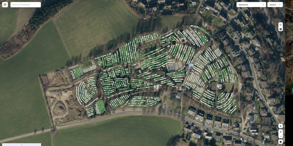
“In addition to grave information, the platform will also offer further information in future, for example about memorials of honor or war graves, and there will be text and image links,” explains Hagen, as photos and any information about graves and memorials can also be stored. This allows the cemetery to be digitally and historically processed. Hagen and his colleagues are supported by the local heritage and history association. The grave status is stored as a graphic evaluation at friedhofsplan.de. This means that free graves are colored green and occupied graves are gray. “This evaluation is the basis for the online grave reservation, which can be used to make grave reservations at the cemetery together with the bereaved,” Schumacher explains further options. “For us, the online grave reservation is a further step towards the digitalization of our cemetery administration,” says Hagen. “In the near future, however, we will first focus on revising our cemetery concept, with the aim of introducing new burial services, among other things.”
Source: Therese Backhaus-Cysyk, Friedhofskultur, July 2020
